
Town or village
Tangir
Diamer district · 1,800 m
Tangir is the valley west of Darel, and both were independent republics until 1952.
Tangir lies beyond Darel and is a quiet, self-contained valley that rewards the few who come. The two valleys were independent republics until 1952, and that proud independence is still part of how people here talk about their home.
Kind Town or villageDistrict DiamerElevation 1,800 mPosition 35.533° N, 73.510° E
About Tangir
The valleys sit on an old route. In the late sixteenth and early seventeenth centuries the Skardu ruler Ali Sher Khan Anchan returned home by way of Chilas, Darel, Tangir and Astore, and the polo grounds his family built across the region still exist today.
For a visitor the practical news is good. The book lists a rest house at Tangir, and another at Gumari in Darel, both bookable from Chilas or from Gilgit. Tangir is also named as the first stop when you enter the valley from Shatial.
Elsewhere in Diamer
Swipe along the district, from the valley floor to the summits.
- 1,265 m
Town or village
Chilas
Chilas is the old crossing place of the Indus, and the rocks around it carry more than 30,000 petroglyphs.
- 1,200 m
Town or village
Raikot Bridge
Raikot Bridge is the turn off the Karakoram Highway where the jeeps take over for Fairy Meadows.
Base camp · 3,300 m
Fairy Meadows
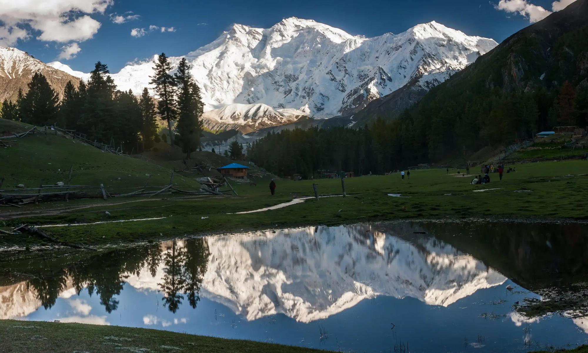
Fairy Meadows is a grass terrace in the pines at 3,300 m, facing the Rakhiot face of Nanga Parbat.
- 8,126 m
Summit
Nanga Parbat
Nanga Parbat rises to 8,126 m as the western anchor of the Himalaya, and its Rakhiot face stands 4,600 m above the camp.
- 4,173 m
Pass
Babusar Pass
Babusar Pass reaches 4,173 m and is the summer short cut between the Kaghan valley and Chilas.
- 1,700 m
Town or village
Darel
Darel is a forested side valley north of the Indus with cedar stands, Buddhist ruins and a wonderfully quiet welcome.