
Summit
Nanga Parbat
Diamer district · 8,126 m
Nanga Parbat rises to 8,126 m as the western anchor of the Himalaya, and its Rakhiot face stands 4,600 m above the camp.
Nanga Parbat stands alone at the western end of the Himalaya. At 8,126 m it is the ninth highest mountain on earth, and it is the proud end of the range.
Kind SummitDistrict DiamerElevation 8,126 mPosition 35.237° N, 74.589° E
About Nanga Parbat
You can see it from several sides, each with its own character. From Fairy Meadows and Beyal you face the Rakhiot side, with 4,600 m of ice rising directly above the camp. From the south, the view from Rupal is the Rupal face, the largest mountain wall on earth. From Rama you see it with a lake and a birch forest in front. Even the flight from Islamabad to Gilgit passes over the massif, one of the most memorable flights in the country.
The mountain sits on a weather boundary too. Much of Gilgit-Baltistan is not affected by the monsoon, but the land south of Nanga Parbat lies on the northern edge of the monsoon belt, which helps explain how green the forests around it are.
The easy and popular way to meet the mountain is to Fairy Meadows and on to Beyal. Beyond Beyal the track passes an icy stream from the Ganalo glacier on the way to base camp. Our trek goes to the Rakhiot moraine, with the face towering above you.
Elsewhere in Diamer
Swipe along the district, from the valley floor to the summits.
- 1,265 m
Town or village
Chilas
Chilas is the old crossing place of the Indus, and the rocks around it carry more than 30,000 petroglyphs.
- 1,200 m
Town or village
Raikot Bridge
Raikot Bridge is the turn off the Karakoram Highway where the jeeps take over for Fairy Meadows.
Base camp · 3,300 m
Fairy Meadows
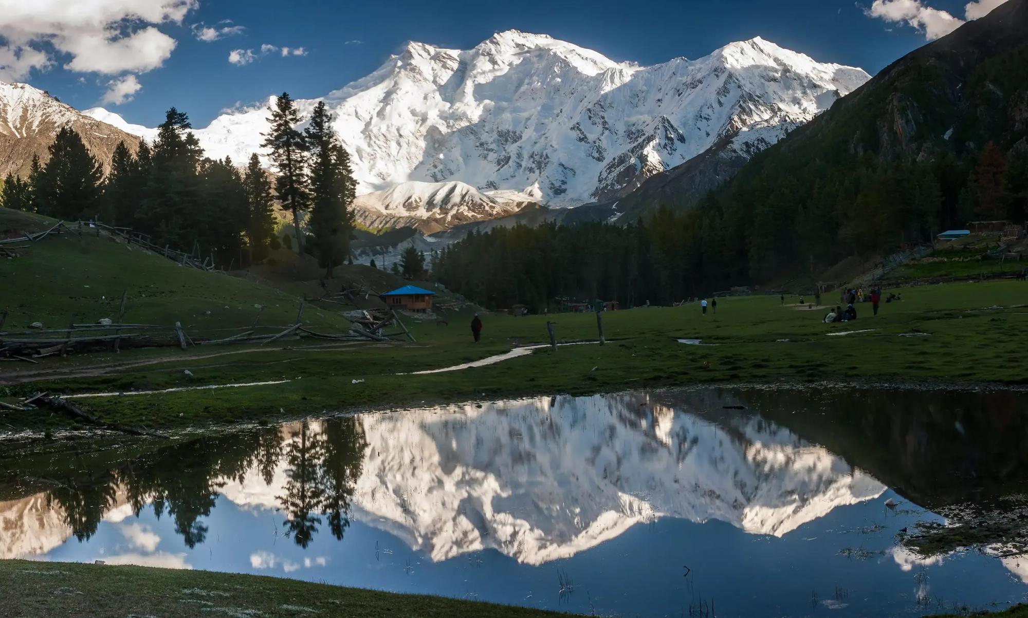
Fairy Meadows is a grass terrace in the pines at 3,300 m, facing the Rakhiot face of Nanga Parbat.
- 4,173 m
Pass
Babusar Pass
Babusar Pass reaches 4,173 m and is the summer short cut between the Kaghan valley and Chilas.
- 1,700 m
Town or village
Darel
Darel is a forested side valley north of the Indus with cedar stands, Buddhist ruins and a wonderfully quiet welcome.
- 1,800 m
Town or village
Tangir
Tangir is the valley west of Darel, and both were independent republics until 1952.