
Town or village
Rupal
Astore district · 3,100 m
Rupal lies under the Rupal face of Nanga Parbat, the largest mountain wall on earth at 4,600 m of relief.
Rupal is a valley about 40 km from Astore town, split into two natural zones. Lower Rupal has summer field settlements growing wheat, maize and potatoes. Upper Rupal is higher pasture, surrounded by summer herding settlements.
Kind Town or villageDistrict AstoreElevation 3,100 mPosition 35.219° N, 74.702° E
About Rupal
Churit and Tarishing villages are the gateway. Herrligkoffer base camp, Latbu meadow and Shaigiri are the popular camping sites, and in summer the trail is lively with visitors and local people.
The view of Nanga Parbat from here is the Rupal face, and the book calls it magnificent. A day's visit is recommended even if you are not trekking.
The standard trek is the Rupal valley, with two days at Rama followed by 4 to 5 days up the valley to about 4,000 m and back. The book recommends it for beginners. Experienced trekkers with rope, crampons, an ice axe and a fully equipped professional guide can go on over Mazeno Pass at 5,377 m.
Elsewhere in Astore
Swipe along the district, from the valley floor to the summits.
Conservancy · 2,600 m
Astore
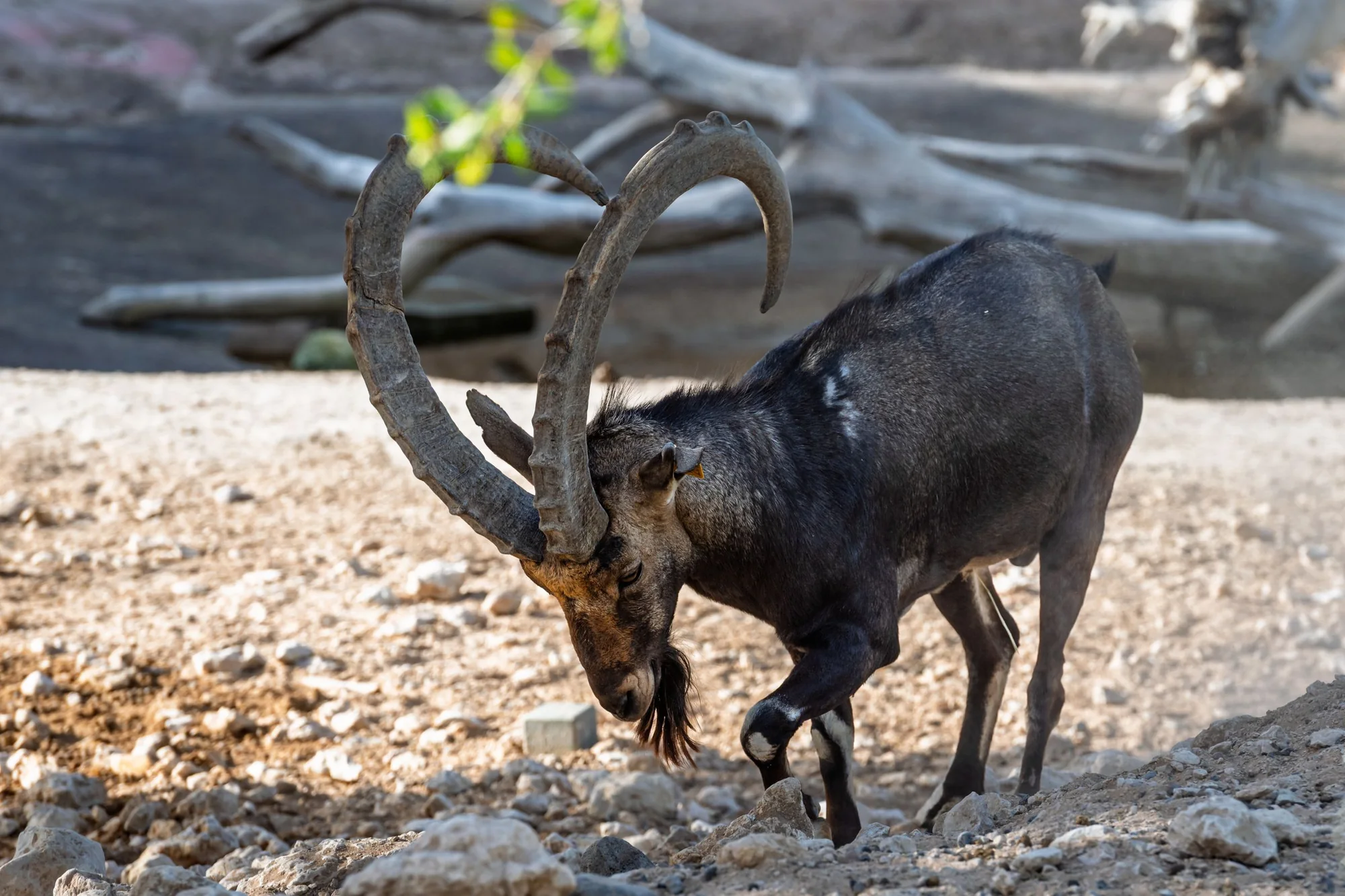
Astore is a markhor conservancy and the district's main town, with treks to Rama, Rupal and the Deosai plateau starting from here.
- 3,300 m
Lake or water
Rama Lake
Rama Lake sits above the Rama meadow and its coniferous forest, with Nanga Parbat behind it.
- 2,800 m
Town or village
Minimarg
Minimarg lies beyond the Burzil Pass, at the far end of the Astore district.
- 4,100 m
Pass
Burzil Pass
Burzil Pass stands at 4,100 m, where the old Srinagar to Gilgit road crossed before the highway existed.
Safari ground · 4,142 m
Sheosar Lake
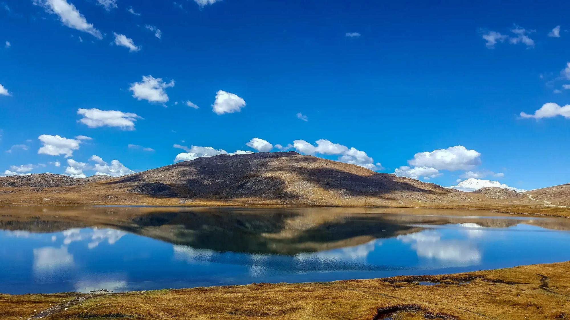
Sheosar Lake lies at 4,142 m on the Deosai plateau, in brown bear country, and it is the site of our mobile camp.