Town or village
Misgar
Hunza district · 3,100 m
Up a side valley off the highway, below the Mintika Pass on the old silk route from China to India.
Misgar lies up a side valley off the Karakoram Highway. The British ran a telegraph line through here to Kashgar.
Kind Town or villageDistrict HunzaElevation 3,100 mPosition 36.788° N, 74.768° E
About Misgar
The valley leads to the Mintika Pass, an important crossing on the old silk route from China to India. The guidebook calls the Mintika the Roof of the World, and describes it as ideal for a trek or a yak safari, with the high pastures of Central Asia beyond.
Misgar is home to both Burusho and Wakhi Tajiks. Beyond the village, a jeep track of about 7 km ends at Qalamdarchi, from where the valley splits and the Kilik and Mintika passes lie about 30 km away. A trek to those passes takes about six days.
Elsewhere in Hunza
Swipe along the district, from the valley floor to the summits.
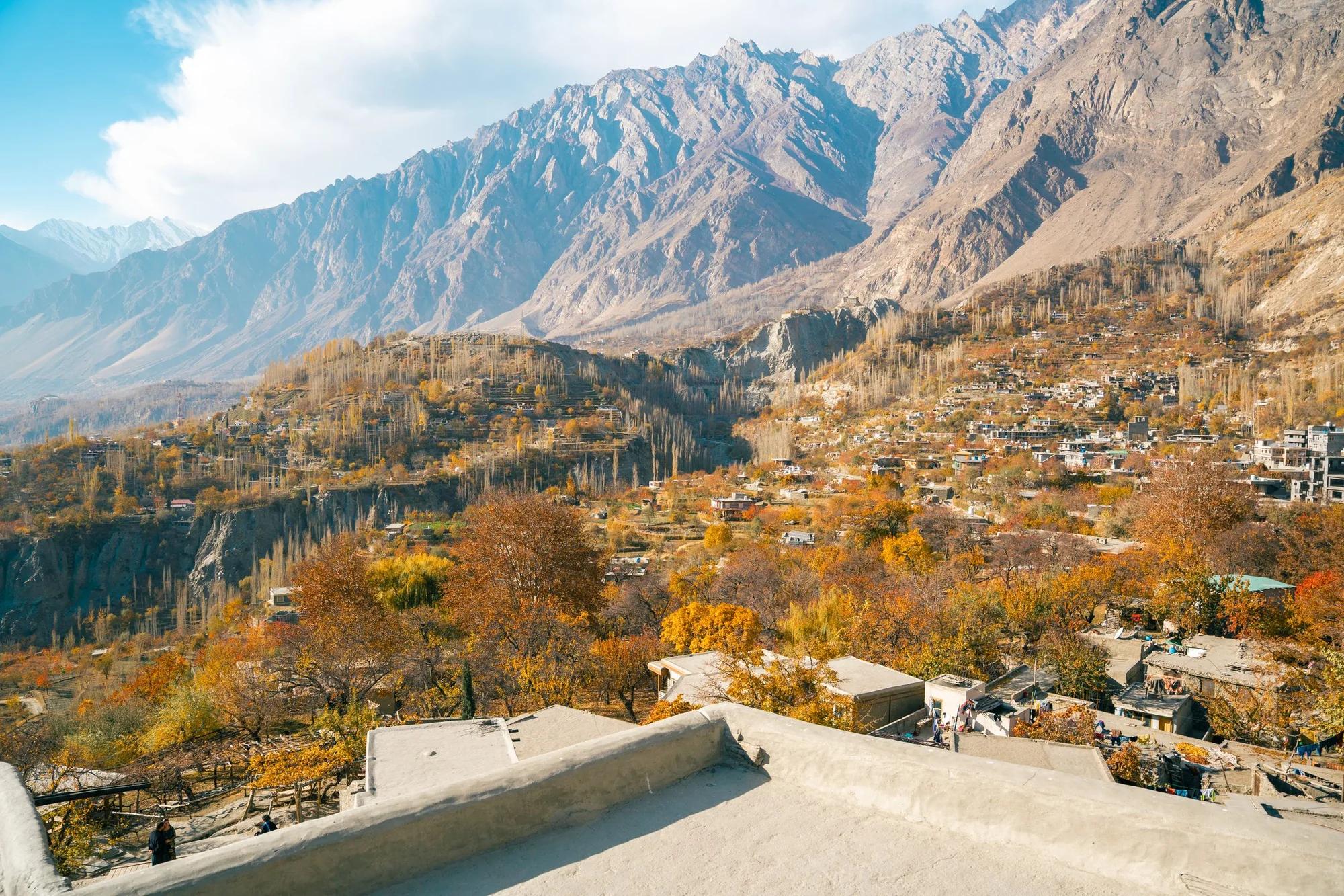
Town or village · 2,450 m
Karimabad
The old seat of the Mir of Hunza, and the heartbeat of tourism in Gilgit-Baltistan.
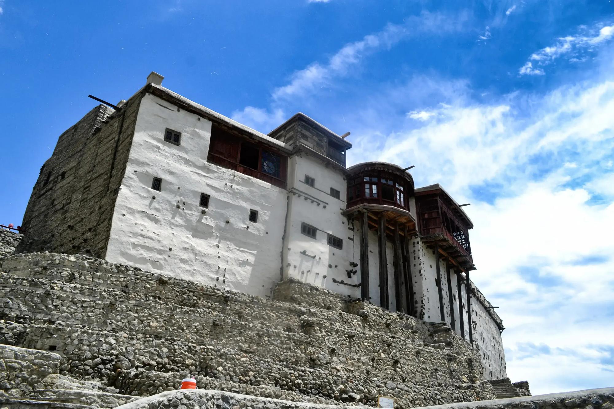
Fort · 2,500 m
Baltit Fort
Seven hundred years old, and beautifully restored between 1990 and 1996 by the Aga Khan Cultural Service.
- 2,350 m
Fort
Altit Fort
The older of Hunza's two great forts, on the edge of a cliff above the river.
- 7,388 m
Summit
Ultar Sar
7,388 m directly above Karimabad, and the glacier that waters most of Central Hunza.
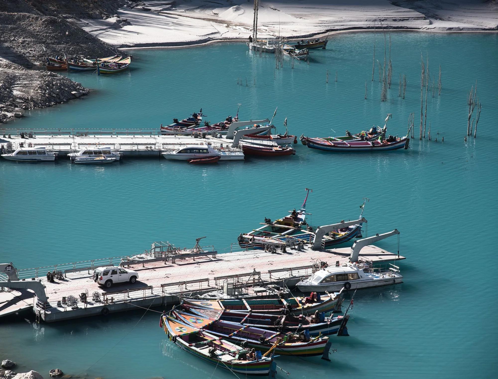
Lake or water · 2,450 m
Attabad Lake
A turquoise lake on the Karakoram Highway, with boat rides, lakeside camping and a new road through the tunnels.
- 2,500 m
Town or village
Gulmit
Gojal headquarters, Wakhi speaking, with the old Mir's summer residence and a village full of charm.
- 2,480 m
Town or village
Hussaini
The famous suspension bridge over the Hunza river, planked at intervals and a treat for adventure lovers.
- 2,500 m
Town or village
Passu
Between the Passu and Batura glaciers, with the Cathedral Peaks in view and some of the best walks in the valley.
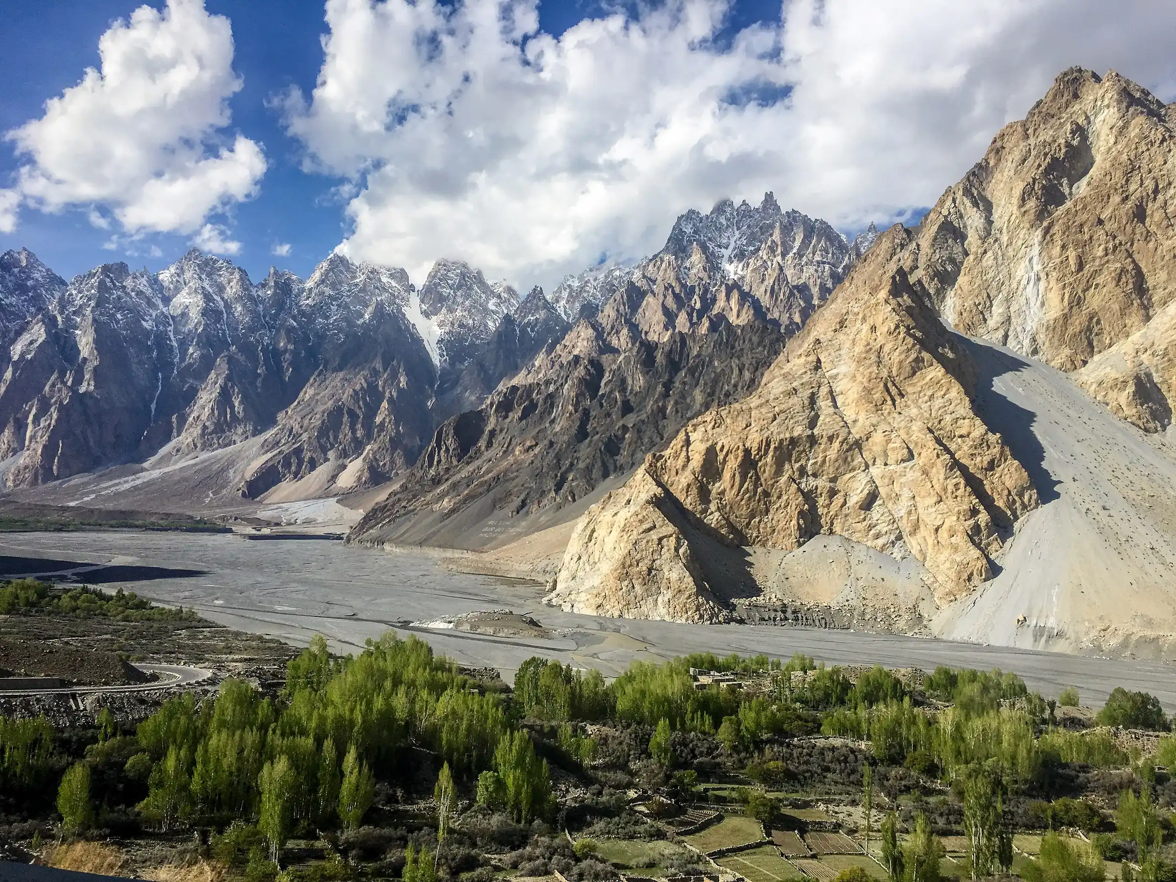
Summit · 6,106 m
Passu Cones
Tupopdan, 6,106 m. The serrated wall every photograph of Upper Hunza is taken against.
- 2,600 m
Lake or water
Borith Lake
An emerald green lake above Ghulkin, where migrating birds stop in spring and autumn.
- 2,800 m
Town or village
Sost
The dry port and the last Pakistani customs post before China, and the base for Khunjerab and Chapursan.
- 3,300 m
Town or village
Chapursan
A Wakhi valley running west to the Afghan watershed, with the shrine of Baba Ghundi and a famous festival.
- 3,100 m
Town or village
Shimshal
Pakistan's most remote valley, home to great guides, a mountaineering school and yak pastures above 4,700 m.
- 4,735 m
Pass
Shimshal Pass
The gate onto the Pamir pastures, walked by Shimshali herders twice a year.
- 4,735 m
Base camp
Shuwerth
Summer pasture on the Pamir, and blue sheep ground in winter.
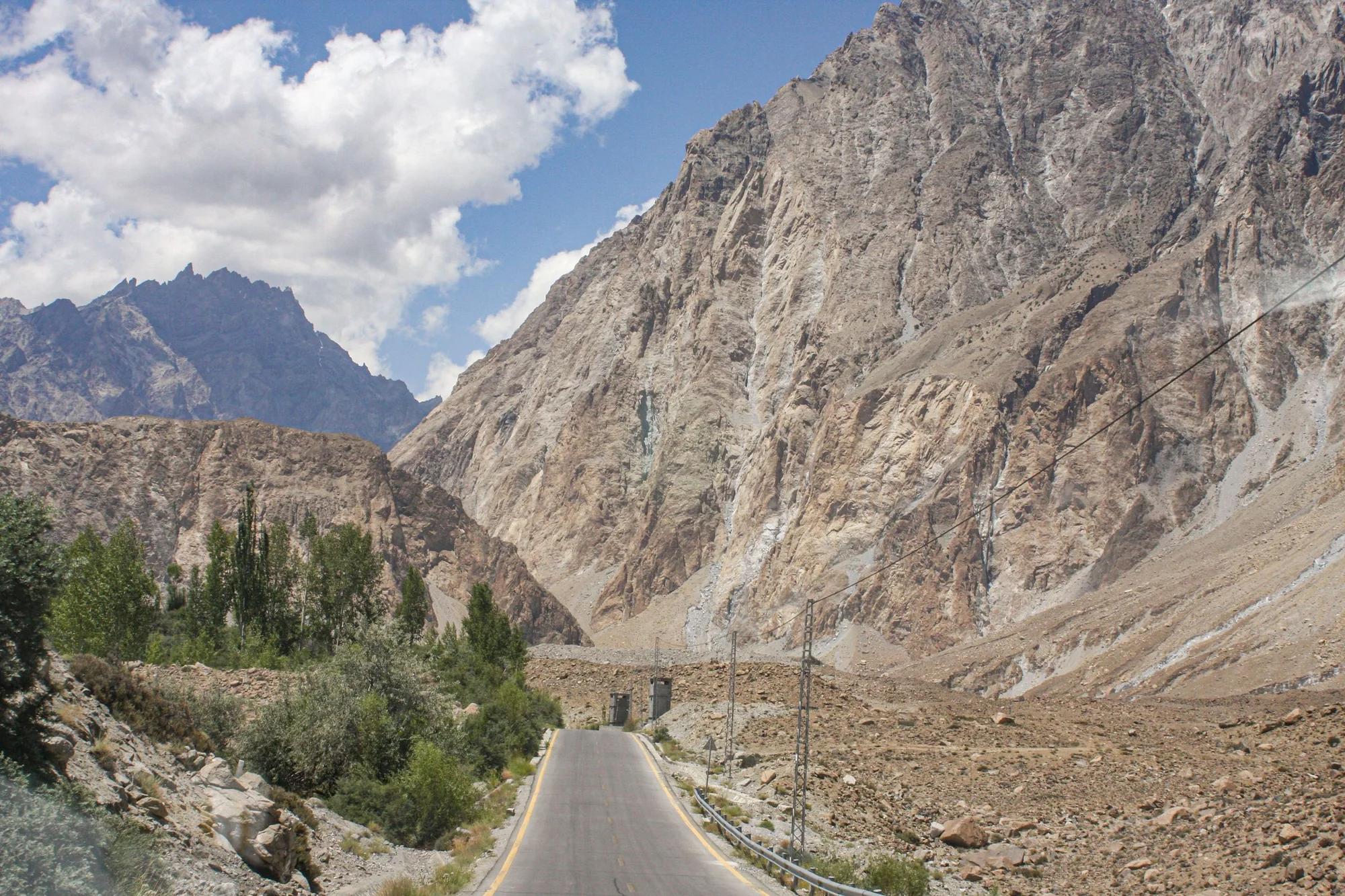
Pass · 4,693 m
Khunjerab Pass
4,693 m. The Chinese border and the highest paved border crossing in the world.