
Town or village
Hushe
Ghanche district · 3,050 m
Hushe is the village at the end of the Gondogoro walk, with Masherbrum in view and a long tradition of mountain guides.
Hushe, spelled Hushey in the guidebook, lies at about 3,050 m, north of Khaplu, in a valley of rocky peaks and pinnacles. Masherbrum is visible without walking anywhere. It is the starting point for many treks and walks, and finding a guide is no problem at all, because the guidebook says every other able bodied man in the village claims to be one.
Kind Town or villageDistrict GhancheElevation 3,050 mPosition 35.421° N, 76.367° E
About Hushe
Most Balti high altitude porters come from here, and the village has a long tradition of working on the Baltoro and the high passes. About 1,000 visitors a year pass through, going to or coming from Concordia over Gondogoro La.
Treks from Hushe in the guidebook include Masherbrum Base Camp, the Laila Peak view point, K6 and K7 Base Camp, and Humbrok, a two day walk to a K2 view.
On our K2 itinerary, Hushe is the happy end of the walk. Day 15 is a four hour walk out from Saicho to the roadhead, followed by jeeps down the Shyok to Khaplu.
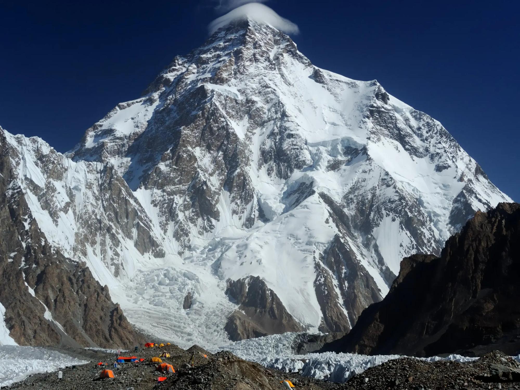
Elsewhere in Ghanche
Swipe along the district, from the valley floor to the summits.
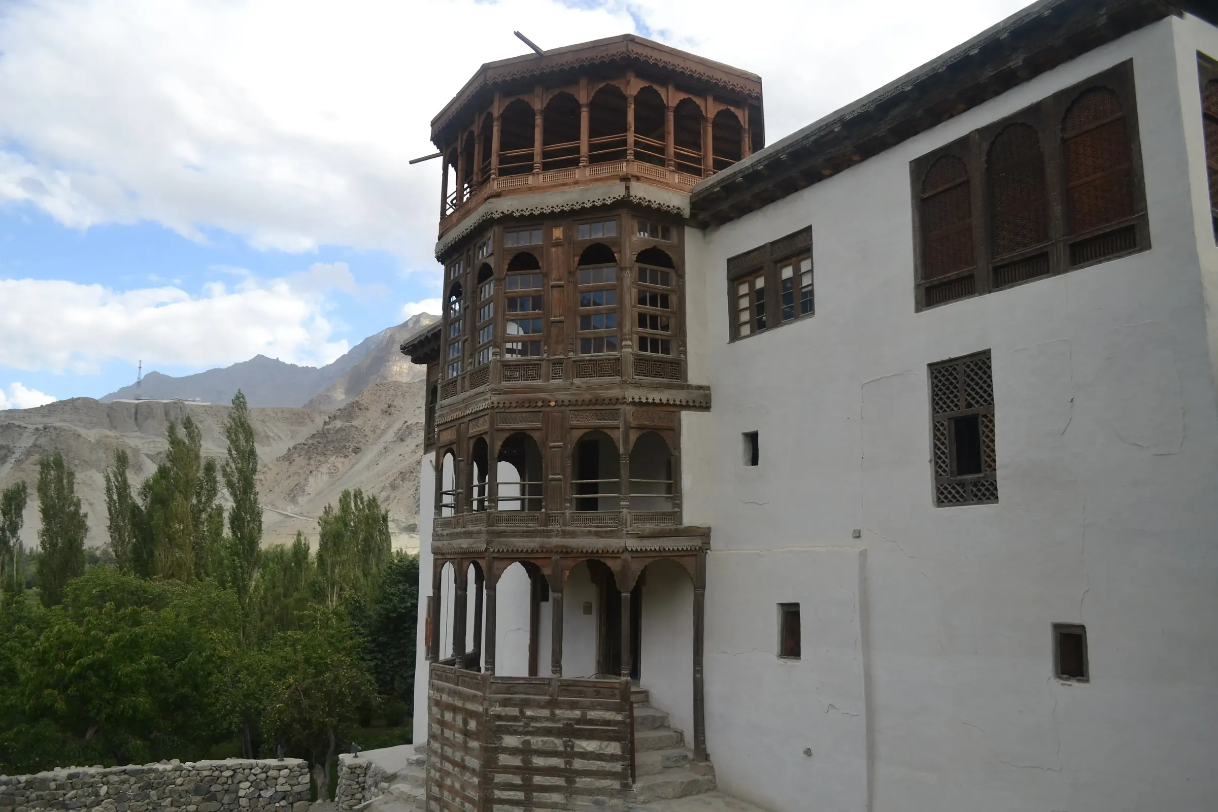
Town or village · 2,600 m
Khaplu
Khaplu, at 2,600 m, is the old Yabgo capital on the Shyok, and its palace was restored by the Aga Khan trust in 2011.
- 2,700 m
Town or village
Machulo
Machulo lies between Khaplu and the Thalay valley, with apricot terraces climbing both banks of the river.
- 4,575 m
Pass
Thalay La
Thalay La, at 4,575 m, is the old trading foot route between Khaplu and Shigar.